Jun
20
6/20/2012 8:56 AM
(Tues., June 19, 2012)—Mayor Peter Carlisle today joined an official from Google to announce new
Street View imagery of Hawaii’s parks, beaches, and attractions. The enhancement to this popular feature
of Google Maps enables people from around the world to plan their vacation. This is accomplished by
taking virtual tours of popular destinations in Honolulu and throughout Hawaii, such as the Hanauma Bay
Nature Preserve and other public parks and beaches.
The first Street View imagery of Hawaii launched in November 2009, and the latest updates
expand that capability into parks, beaches, the Honolulu Zoo and other destinations here and in other
cities. Since some of the most interesting and fun places aren’t accessible to the Street View car, Google
engineers developed the Street View tricycle. Today’s imagery is made available by these three-wheel
pedicab “trikes” that can maneuver along paths and trails.
“This is a great way for residents and visitors to become familiar with Honolulu’s beautiful parks,
zoo, aquarium and other destinations before visiting,” Carlisle said during a news conference at Hanauma
Bay.
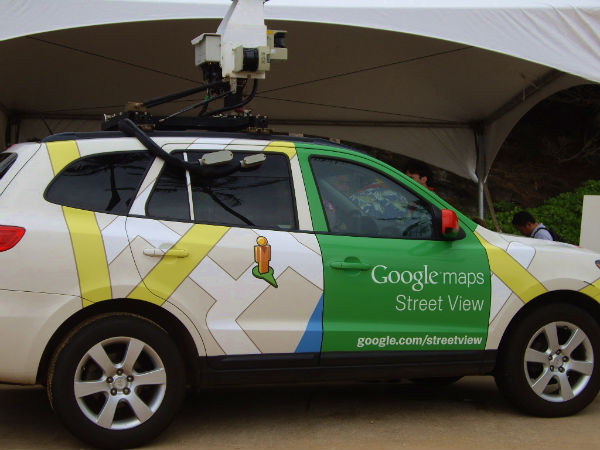
The Street View feature in Google Maps already helps Internet users explore 360-degree
street-level imagery from around the world by providing panoramas made available by Street View cars
that take photographs as they drive down public streets. Once the photographs have been taken, they go
through computer processing to make them ready for use on Google Maps.
The City and County of Honolulu is pleased to announce this development with Google because
of the many beautiful locations here and the worldwide interest in Hawaii. The City government has
emphasized the use of new technology and innovation to help keep the public informed. Carlisle has
encouraged the creation of more online tools to make Honolulu a smarter city, such as smart phone apps
that allow citizens to report needed repairs to roads and facilities.
Among the many locations now available through Google Maps are Kapiolani Park, Foster
Botanical Garden, Honolulu Zoo, Waikiki Aquarium, Ala Moana Regional Park, Central Oahu Regional
Park, and more than 150 other parks. The feature also includes many popular resorts, golf courses, Kualoa
Ranch and other destinations across the state. This expands upon Google's previous road coverage on six
of Hawaii's major islands, including Oahu, Big Island, Maui, Kauai, Molokai, and Lanai.
More information about this and other Street View announcements from Google can be found on
the Official Google Blog at: http://googleblog.blogspot.com/search?q=street+view
Copyright ©2012 Web TV Hawaii
Tags: